Forecast
How to Actually Read a Nazaré Wave Forecast
17 September 2026 · 9 min read · By Surf Nazaré editors
Last updated
Wave height alone doesn't tell you if Nazaré is about to go off. Here's what period, direction, wind and tide actually mean, and how we turn them into a GO / MAYBE / DON'T GO call.
"3 metres" tells you almost nothing on its own. A 3 m reading can mean a flat, unremarkable day at Praia do Norte, or it can be the leading edge of a building groundswell about to double in size. The number that actually matters is never just wave height — it's height combined with period, direction and wind. Here's how to read a Nazaré forecast the way we do, and exactly how our own GO / MAYBE / DON'T GO rating is calculated.
Wave height: significant, not maximum
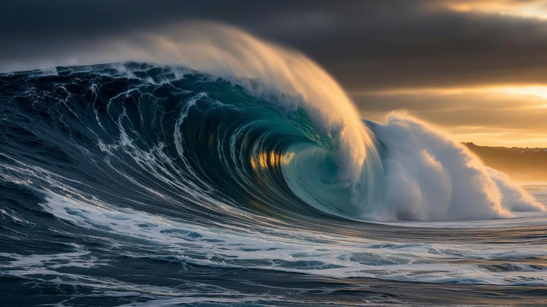
The height on any forecast — ours included — is significant wave height: the average of the highest third of waves in open water offshore, not the tallest single wave and not the face height you'd estimate standing at the lighthouse. The Nazaré Canyon then amplifies that offshore figure as it funnels onto Praia do Norte, which is why the faces photographed from the headland look dramatically bigger than the number on this page. Treat our metres as an input to the story, not the size of the wave you'll actually see — a point of confusion (and occasional overhype) that even surf journalists have written about at length.
Period: the number that separates junk from giants
Period — the seconds between successive wave crests — is the single most useful number on the page, because it tells you what kind of swell you're looking at. A short period (6–9 seconds) means locally generated wind waves: choppy, disorganised, and incapable of building into anything huge no matter how the height reads. A long period (13 seconds or more) means a groundswell that has travelled thousands of kilometres from a distant Atlantic storm, arriving with far more energy packed into each wave. A 2.8 m reading at 9 seconds is wind chop and will look ordinary. A 4 m reading at 14 seconds is a real groundswell and, once the canyon gets hold of it, can be spectacular. Same height range, completely different day.
Direction: why west-to-northwest is the magic window
The Nazaré Canyon runs roughly east-west, and it amplifies incoming swell most efficiently when that swell arrives from the west through north-west. Swell from other angles — due north, for instance — doesn't line up with the canyon's axis the same way, and produces smaller, less organised waves at Praia do Norte even with identical height and period readings. Direction is why two swells that look similar on paper can produce completely different days on the water.
Wind: the difference between clean and blown-out
Wind doesn't create Nazaré's size, but it decides whether that size is rideable and photogenic. A light offshore wind (blowing from the land out to sea) holds the wave face up as it breaks, grooming it into the clean, glassy walls you see in the best footage. A moderate-to-strong onshore wind does the opposite: it crumbles the face, adds surface chop, and turns an otherwise promising swell into a messy, wind-torn one. We factor wind into our confidence rating alongside height, period and direction, not as an afterthought.
Tide: a smaller but real factor
Praia do Norte breaks across a wide range of tides, so tide isn't the gating factor that height and period are — but it does shift where and how the wave breaks through the day. Our live conditions page lists today's high and low tide times alongside the wave data so you can factor it into when you head to the headland.
How we turn all of this into a rating
Every rating on our live conditions page follows the same rules, applied to the biggest hour of daylight (07:00–19:00 local time) each day:
- DON'T GO — peak under 2.5 m, or a period under 10 seconds regardless of height. This is flat or wind-chop territory.
- MAYBE — 2.5–4 m with a period of 12 seconds or more, or a bigger swell held back by a middling period or a strong onshore wind.
- GO — at least 4 m, a period of 13 seconds or more, swell arriving from the west through north-west.
- GO — BIG-WAVE DAY — 6 m or more with a 14-second period or longer. This is when you clear your schedule.
Confidence drops the further out the forecast reaches — high for today and tomorrow, medium for days three and four, low beyond that — because swell forecasting means modelling storm systems thousands of kilometres away days before they arrive, and small errors compound over time. We also step confidence down a notch whenever a day's numbers sit close to a rating boundary. One honest limitation: we currently model from the Open-Meteo marine and weather data, not live buoy readings, so treat any forecast — ours included — as a strong guide rather than a guarantee.
Putting it together
Next time you check a forecast — for Nazaré or anywhere else — resist the urge to look at height alone. Ask: what's the period? Which direction is it coming from? What's the wind doing? A 3 m day with a 15-second west swell and light offshore wind will beat a 4 m day with a 9-second period and onshore wind every time. If a genuinely big swell does line up, it's also worth checking whether the TUDOR Nazaré Big Wave Challenge holding period is open — a strong forecast is exactly what triggers the contest call.
Surf Nazaré is reader-supported. Some links above are affiliate links, which means we may earn a small commission if you book through them — at no extra cost to you. See our affiliate disclosure for details.
You might also like

Events
The TUDOR Nazaré Big Wave Challenge: Dates, How to Watch, and What to Expect
How the world's biggest wave-riding contest actually works — the holding period, the 24-hour call, where to watch it for free, and what we know so far about the 2026/27 window.

Trip planning
Nazaré Winter Weather: What to Expect and What to Pack
Big-wave season means big-storm weather. Month-by-month temperatures and rainfall, what the clifftop actually feels like, and exactly what to pack.
Catch the swell.
Get alerted when the big swells are coming to Nazaré.